Arctic Exploration
You will play the role of a team searching for Franklin, while also navigating the Northwest Passage and charting the map.
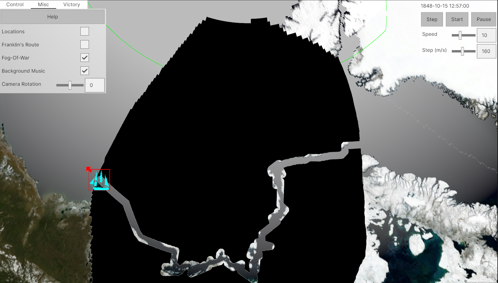
Navigation: Right-click and drag to move the camera, and scroll the mouse wheel to zoom in or out.
Control: Left click to select your ship (there's only 1 unit due to time constraint), click start button or press enter key to start the resolution. Press D and press at map to select new direction.
Sea Ice will evolve with time so you may stuck at ice (like poor Franklin) or it will extremely slow your sailing.
Fortunately or unfortunately, I haven't implemented supply or damage mechanics, allowing you to explore the map at your leisure without concerns. After the jam, I may implement these mechanism (they're currently half-baked so I hide them for now), land team and other searcher who may rescue you or be recursed by you.
This project itself is a practice of GIS data application in Unity (inspired by Sebastian Lague's excellent Geographic tutorial) and CMO/RTW like interaction). For someone interested at those topic, here's repo (not clean up yet):
https://github.com/yiyuezhuo/Arctic-Exploration
Credits:
BGM: Lexin_Music's Inspiring Cinematic Ambient: https://pixabay.com/music/beautiful-plays-inspiring-cinematic-ambient-116199/
GIS data: Elevation: https://www.gebco.net/data_and_products/gridded_bathymetry_data/
Landscape: https://visibleearth.nasa.gov/collection/1484/blue-marble

Comments
Log in with itch.io to leave a comment.
Yippee